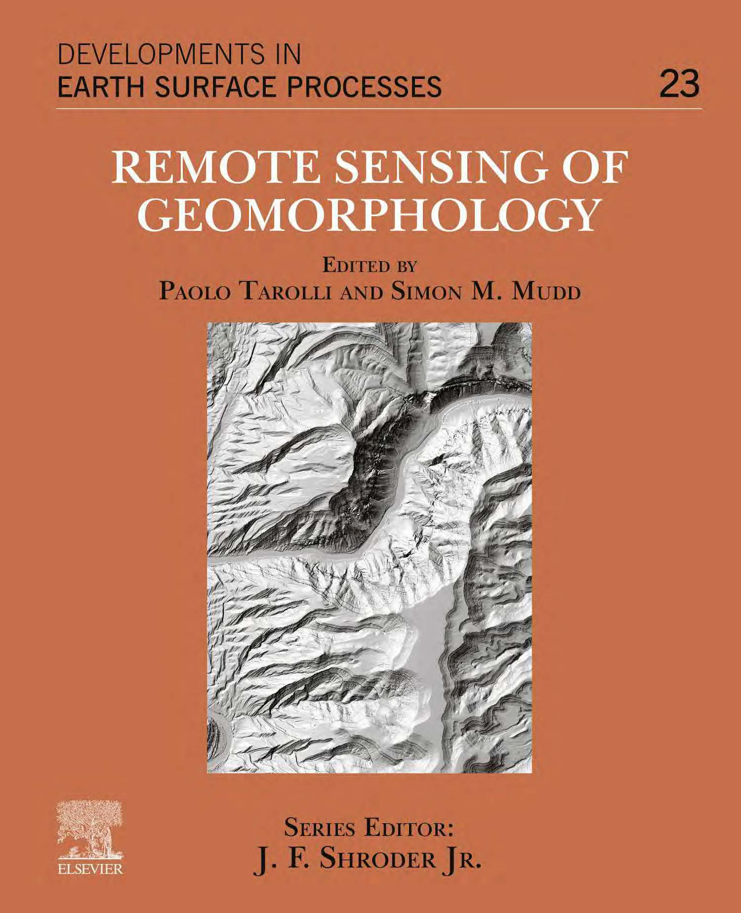
Remote Sensing of Geomorphology
Advances in Earth Observation and Geospatial Analysis
1 Book Image
2 More info
This comprehensive volume explores the latest advances in remote sensing technologies and their applications in geomorphological research. The book provides geoscientists, geomorphologists, and environmental scientists with cutting-edge techniques for analyzing Earth’s surface processes and landforms using remote sensing data.
Bridging the gap between theory and application, it covers a wide range of remote sensing platforms and sensors, from satellite imagery to LiDAR and UAV-based systems, with a focus on practical implementation and case studies.
Key topics include: - Principles of remote sensing in geomorphology - Digital elevation models and terrain analysis - Multi-spectral and hyper-spectral remote sensing - LiDAR and photogrammetric techniques - Erosion and sediment transport monitoring - Glacial and periglacial geomorphology - Fluvial and coastal processes - Tectonic geomorphology and neotectonics - Volcanic and karst landforms - Anthropogenic impacts on landscapes - Climate change and landscape evolution - Emerging technologies and future directions
